
Boundary surveying · Clay, Clinton and Platte counties
The deed describes it.The ground decides it.
Your deed is a description written by somebody who was not standing on your property. A boundary survey is the process of finding out what is actually in the ground, and ranking it.
The problem, drawn
Two monuments. Two point three feet apart. Both of them real.
This is the ordinary situation, not the unusual one. Somebody set a corner when the parcel was created. Somebody else set another one later, closer to where the fence had drifted. Both are iron, both are in the ground, both look authoritative to a homeowner with a shovel. They are not worth the same.
The ranking
Five kinds of evidence, and they are not equal.
A surveyor does not measure your property and hand you a line. A surveyor gathers every kind of evidence that exists for your corner, ranks it in a fixed order of authority, and then follows the strongest kind that survives. The order below is that order. It runs strongest to weakest, and the last one is on the page because you should know how little it is worth.
An original government corner, or its accessories.
Most rural land in this part of Missouri was first divided by the public land survey in the nineteenth century, and the section and quarter corners set then are the skeleton every later description hangs on. Sometimes the original stone is still there. More often what survives is an accessory: a bearing tree with a healed blaze, a pile of stones, a mound of earth with a charcoal deposit under it, recorded in the original field notes at a distance and a bearing from the corner.
Finding one of these is a good day. It cannot be argued with, because everything in the neighbourhood, including your deed, is ultimately measured from it.
- To your line
- It sets it. Nothing outranks this and nothing overrides it, including a more recent survey that disagrees.
- Cost
- Time. Recovering an accessory corner can be half a day of digging in a fence row with a probe and a hundred and sixty year old field note.
An original monument, set by the survey that created your parcel.
When a larger tract was split and your lot came into being, somebody set iron at its corners. That iron is the corner. This is the single most misunderstood idea in property law and it is worth being blunt about it: an original monument is not evidence of where the corner is supposed to be, it is the corner itself. If the plat says the lot is 150.00 feet wide and the two original pins are 149.62 feet apart, the lot is 149.62 feet wide.
Which is why the 1965 pipe in the drawing above beats the 2019 rebar despite being worse in every other respect.
- To your line
- It sets it, and it beats the written dimensions in your own deed.
- How we test it
- Size, material, depth, wear and position against the record. A pipe of the right vintage at the right depth in roughly the right place is almost always genuine.
A later monument, called for by a recorded survey and undisturbed.
Iron set by a subsequent surveyor, whose work is on record and whose reasoning can be read. This is most of what is actually in the ground. It is good evidence when the survey that set it is recorded, when the monument matches what that survey says it set, and when nothing has obviously moved it. It is weak evidence when it is uncapped, undocumented, at the wrong depth, or sitting exactly on a fence, which usually means it was set to the fence rather than to the boundary.
A capped pin with a licence number on it is worth several times an unmarked one, for the plain reason that we can go and read what that surveyor thought they were doing.
- To your line
- Usually accepted. Rejected when it conflicts with tier 01 or 02, and the report will say so in words.
- The common trap
- A pin driven flush with a fence post. Fences follow convenience, terrain and a previous owner's guess, and almost never follow the boundary.
Measurement. The bearings and distances written in the record.
Only when the monuments are gone does the written geometry take over: the calls in the deed, the dimensions on the plat, the ties in an older survey. Measurement is where the technology lives, and it is also where surveying is most often misrepresented. Our instruments will hold a hundredth of a foot over your lot. That precision is real and it is nearly irrelevant, because the question was never how accurately we can measure, it was from what.
A hundredth-of-a-foot measurement from the wrong starting monument is wrong by however far that monument is wrong, to a hundredth of a foot.
- To your line
- Controls it only where no monument survives, and it is then apportioned between the corners that do survive rather than run from one end.
- What we will not do
- Quote you a precision figure as though it were an accuracy figure. They are different words and the difference is the whole job.
Record area. The acreage on your tax bill.
The number of acres in your description is the last thing a surveyor will follow and the first thing a landowner quotes. It is almost always a computed figure, computed from the same geometry that sits at tier 04, sometimes rounded, sometimes carried forward unexamined through four generations of deeds. It moves whenever anything above it moves.
If your survey comes back at 4.71 acres and your tax bill has said 5 acres since 1978, the survey is not the thing that is probably wrong. This is stated here rather than in a difficult phone call later.
- To your line
- Almost nothing. It is a result of the boundary, not a description of it.
- Why it is here
- Because expecting acreage to govern is the most common reason a survey result comes as an unpleasant surprise.
Our own field standard
What we hold ourselves to, written down before you ask.
Missouri sets minimum standards for property boundary surveys in the Code of State Regulations at 20 CSR 2030-16, and those standards, not this page, are the legal floor. The table below is not that regulation and does not restate it. It is our own office practice, published so that you can hold us to something specific and so that you can ask the next surveyor you call for theirs.
| Setting | Corner monument we set | Depth | Corners tied to | Report turnaround |
|---|---|---|---|---|
| Platted city lot | ½" rebar, capped and stamped, or a drill hole in existing concrete where a pin cannot be driven | 18" | Two recovered plat corners plus one road monument | 10 business days |
| Subdivision, acreage lots | ⅝" rebar, capped and stamped | 24" | Two recovered original corners of the subdivision | 10 business days |
| Rural tract, cultivated | ⅝" rebar, capped, with a witness post set offset and flagged | 24" | Nearest recovered section or quarter corner | 15 business days |
| Rural tract, timber or bottom ground | ⅝" rebar, capped, plus two reference ties cut and recorded so the corner can be re-found after a flood | 30" | Nearest recovered section or quarter corner, and one accessory if one survives | 20 business days |
| Any setting, corner falls in pavement | Magnetic spike or drill hole, and the plat says which, because a driven pin under asphalt is not findable and pretending otherwise wastes the next surveyor's day | Flush | As above | As above |
Three things get called a survey
One of these three will settle a fence. The other two will not.
The most expensive misunderstanding in this business is a homeowner who believes they already have a survey. Usually they have the first of these, it cost a fraction of what a survey costs, and it says on its own face that it is not one.
Mortgage inspection
Ordered by a lender to confirm that the house sits inside the lot and that nothing obvious encroaches. No corners are searched for. No corners are set. It carries a printed statement that it is not a boundary survey and is not to be relied on for fences, walls or improvements.
It is a reasonable product for the purpose it exists for. It is worthless in a disagreement with a neighbour, and every year somebody discovers that in the worst possible week.
Property boundary survey
Deed and plat research at the Clay County recorder's office, a search for every monument the record calls for, recovery of controlling corners off the property where necessary, the evidence ranked as set out above, corners set or reset where they are missing, and a signed and sealed plat with the reasoning on its face.
This is the one that resolves a line, supports a fence, supports a building permit, and can be put in front of a court.
ALTA/NSPS land title survey
A boundary survey with a defined additional scope worked out between the buyer, the lender and the title company: easements plotted from the commitment, improvements located, utilities shown, and specific optional items chosen from a standard table.
Commercial transactions need it. A homeowner arguing about twelve feet of side yard does not, and we will say so rather than sell it.
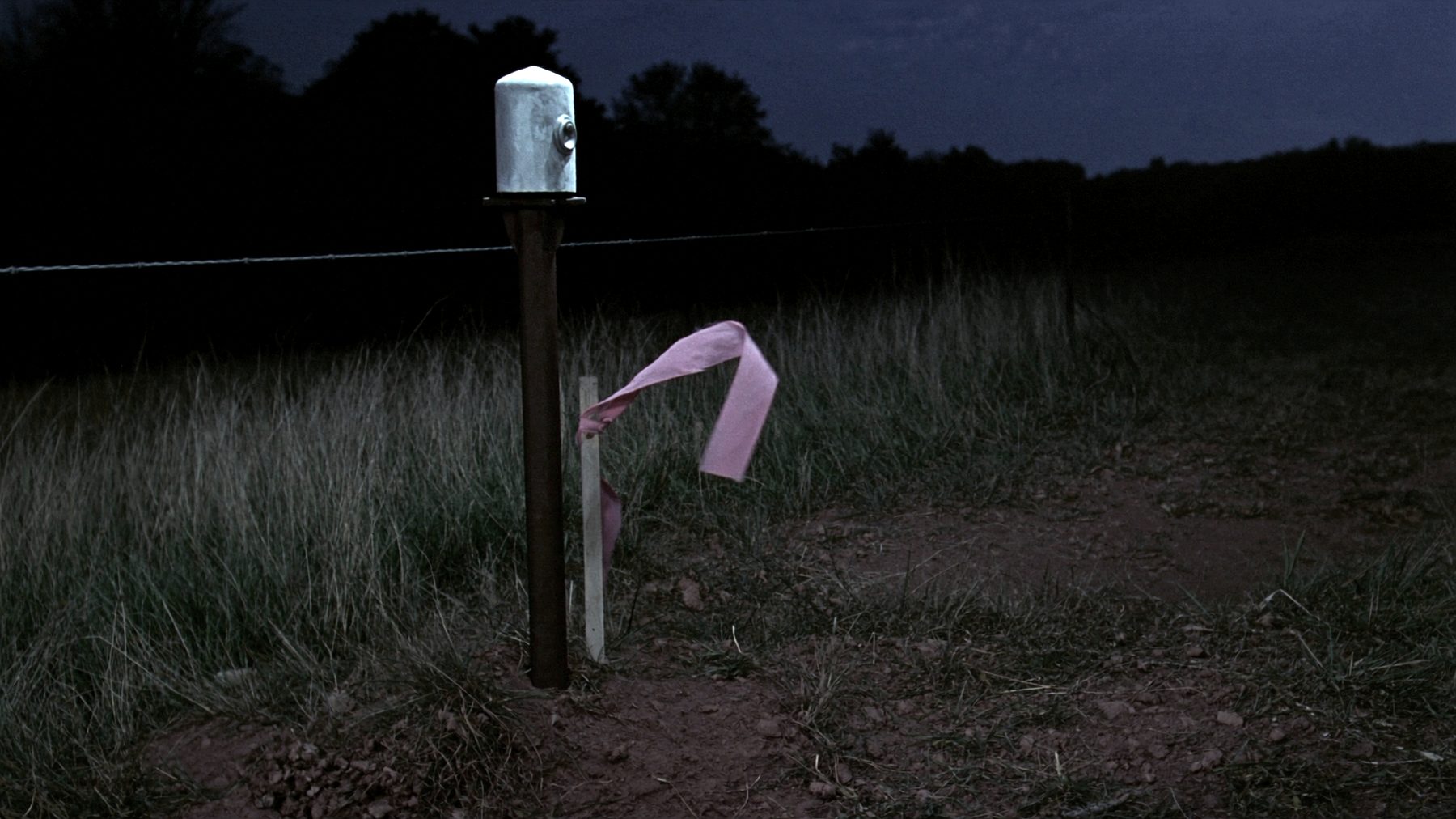
Start here
Tell us the address and what the argument is about.
Those two things are enough for us to say what the job is, roughly what the research will take, and whether you actually need a boundary survey or already have what you need. If it is the second, we will tell you that on the phone and there is no charge for the call.
- Office
- 118 E Washington St, Suite 2
Kearney, Missouri 64060 - Telephone
- (816) 555-0188
- office@example.com
- Counties worked
- Clay, Clinton, Platte, Ray and northern Jackson. Beyond that we will refer you to somebody who already knows the recorder's index.
- Field season
- Year round. Rural corner recovery in timber and bottom ground is scheduled after leaf fall and before spring green-up, because a corner you cannot see is a corner you do not find.